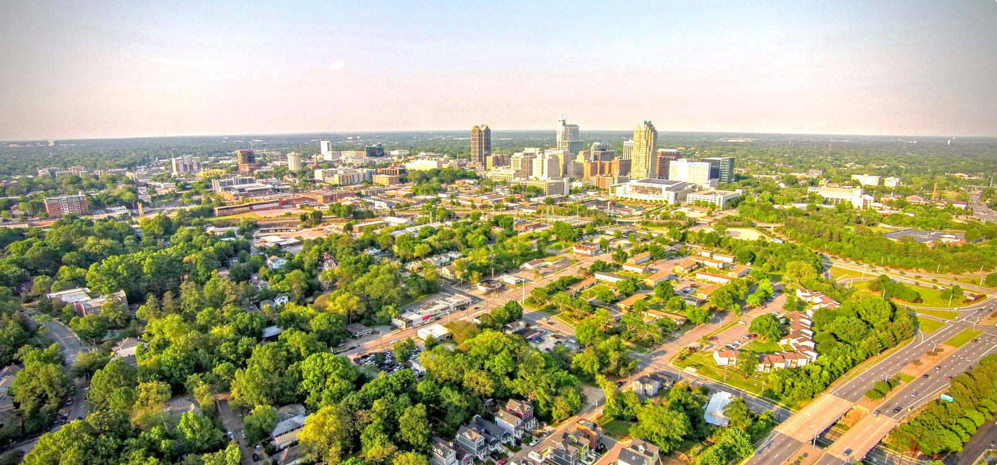
Raleigh city planning officials have started implementing Transit Overlay District (TOD) zoning around Bus Rapid Transit (BRT) routes to ensure equitable access to public transit, while connecting important parts of the city to economic and recreational opportunities. Here’s how we got here and where we hope to end up when it comes to growth and strategic land use planning.

Zoning overlay districts are a set of additional zoning regulations that are layered over existing zoning or districts. They are frequently used in city and land-use planning to achieve goals like protecting habitat, promoting an economic corridor, or preserving a historic neighborhood. The Transit Overlay District is a type of zoning meant to encourage transit-oriented development, or development around transit systems that make these areas walkable and vibrant while increasing ridership through specific zoning. Unlike many types of overlay districts that hinder development through exclusionary zoning and upholding the status quo, TOD and transit-oriented development is meant to encourage density and growth around public transit by setting standards for parking, building height, land use, etc. While different cities and planning agencies may use different names, transit-oriented overlay districts are a common planning tool.
TOD zoning was originally created for light rail service that was once (~10-15 years ago) planned for the New Bern Ave corridor in Raleigh but proved infeasible based on funding and current land use. However, Raleigh City Council adopted a text change (TC-17A-20) in October 2021 to update TOD and focus efforts on Bus Rapid Transit. The impetus for the text change was to align planning efforts with the Wake County Transit Plan, passed by voters in 2016, which called for about 20 miles of transit along four BRT corridors.
Raleigh identified equity and sustainability as core goals of the project, so after the Wake Transit Plan was passed, the 2017 city council requested a study that became known as equitable development around transit (EDAT). The motivation for this study included concerns about gentrification and existing residents and businesses being pushed out by the development of new housing and businesses around transit stations. According to the city’s website, this process set out to answer: 1) To what extent should Raleigh grow more around transit, as opposed to driving, in the future? 2) How do we ensure the benefits of BRT are shared equitably?
This led to a participatory planning process that engaged residents, employers, and other stakeholders. The effort towards equitable development came about in large part because of this community outreach and participation, as residents overwhelmingly responded that:
- they would like to live in an area that is walkable to restaurants and shopping and is close to fast and frequent transit (88%)
- it is very important that new growth take place near transit (79%)
- new development around transit lines should focus on affordable housing options (71%)
The study concluded in the spring of 2022, and an Equitable Transit-Oriented Development Guidebook was developed in July 2020 to outline a path towards the equity and sustainability goals, which identifies TOD as the primary zoning mechanism to achieve them. TOD accomplishes this by including features like an “Affordability Bonus”, which allows for greater building height in exchange for affordable housing units, as well as requiring wider sidewalks and more cycling and pedestrian infrastructure.
After passing the text change for TOD around BRT routes in October 2021, Raleigh City Council authorized a rezoning process to apply TOD along the Southern and Western BRT corridors, the zoning for which were approved in July and August 2022, respectively. Efforts to approve TOD zoning along the New Bern Avenue (Eastern) corridor are currently underway, as this corridor will be the first BRT route to be completed.
With TOD applied along the BRT routes and within quarter-mile buffers around planned stations, this zoning is ultimately meant to increase the usefulness and efficiency of the public transit by:
- Making these areas safe and pleasant for pedestrians and cyclists
- Increasing housing and employment options
- Providing a way to access goods and services or recreation opportunities without the need for a car
In addition to Raleigh, many other cities and municipalities have made efforts to increase transit-oriented development through zoning in response to the desire of residents to live in vibrant, connected communities as well as to boost local economies and achieve climate goals. Examples include Chicago’s recently adopted Connected Communities Ordinance and the transit supportive zoning outlined in Denver’s Transit Oriented Development Strategic Plan.
For more information about TOD and how it’s being implemented in Raleigh, check out their website.


