
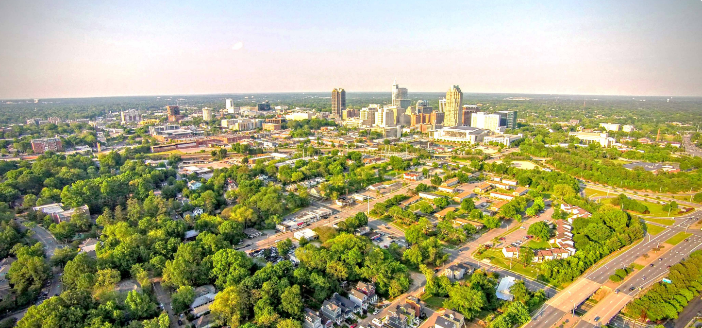

Land use planning and zoning may seem like policy jargon, something that most residents of a community may not even think about. However, regulations around land use dictate exactly what can be built where, so it has a huge impact on shaping the functioning and growth of our communities – including things like affordable housing development, climate and air quality impacts, and the cost of services like trash pickup and sewer infrastructure.
Wake County has created a comprehensive, community-informed (over 9,000 residents completed in-depth surveys), and iterative land use plan called PLANWake, which was adopted in 2021. Additionally, each city and municipality of Wake County has adopted or is in the process of updating their own long-term land use plans (you can check out your area’s comprehensive land use plan here).

Below are some of the performance metrics and goals established by PLANWake, which speak to the way that land use touches all aspects of our lives.
County-wide metrics:
- Increase the number of trips taken by walking, biking, or transit and reduce the number of vehicle miles traveled by car or truck
- Decrease the number of households facing severe housing issues (including overcrowding, high housing costs, or lack of kitchen or plumbing) by 70%
- Permanently protect 30% of Wake County’s land area (165,000 acres) as open space
- Reduce the number of employees making less than $15 per hour by 50%
Development performance metrics:
- 32% of new development should occur in the Transit Focus Areas
- 31% of new development should occur in the Walkable Centers
- 34% of new development should occur in the Community Areas
- 2% of new development should occur in the Community Reserve
- 1% of new development should occur in the Rural Areas
Targeted population metrics:
- Reduce the number of households paying over 50% of household income toward housing and transportation by 40%
- Reduce the number of residents noting issues accessing services like medical care, groceries and education by 50%
Why is this so important? Wake County is home to more than 1 million people with an average of 62 additional people moving here each day. Failing to plan for this growth could mean disastrous consequences for open space and air and water quality, housing affordability and displacement, and car-dependency and traffic congestion, which in turn affects safety and mobility for pedestrians. If you want to see sustainable and equitable growth in our community, here are some of the projects and planning initiatives happening right now:
BRT station area planning

When voters passed the Wake County Transit Plan in 2016, they voted for the adoption of Bus Rapid Transit – faster, more frequent bus service in which there are dedicated bus lanes, fixed stations, and a range of improvements for pedestrian and cyclist safety and mobility.
Public transit and the typically denser, mixed-use development associated with transit corridors and stations are important components of land use, because it means that more people can live, work, and get where they need to go with fewer trips in a car. Reducing car dependency is beneficial not only because it reduces tailpipe emissions, but also because car infrastructure like parking lots take up huge amounts of space and increase things like urban heat island effects and stormwater runoff.
As part of the adoption of BRT, planning is underway for where and how people will walk and bike to stations and how to grow around the coming transit in a way that is sustainable, affordable, and equitable.
- New Bern Station Area Planning: City Council met on January 30, 2024 for a public hearing on the Transit Overlay District rezoning (Z-92-22) and to discuss proposed Comprehensive Plan amendments. Visit the link above to learn more about the outcomes of this meeting and stay tuned for Council to continue the conversation around rezoning on March 5.
- Western Station Area Planning: This BRT route will connect downtown Raleigh to downtown Cary along Western Blvd. Click on the link above to learn more about upcoming Open Houses this month and the opportunities for transit-oriented development along this corridor.
- Southern Station Area Planning: The Southern BRT Corridor will connect downtown Raleigh to the town of Garner. Click on the link to get the schedule for upcoming Open Houses and be a part of the community planning process for the corridor along S Wilmington St.
S-Line: Raleigh to Richmond high-speed rail

Federal funding was announced in December for new and upgraded tracks between Raleigh and Wake Forest as part of the S-Line project, as well as other transportation projects in NC. The S-Line is a big win for regional mobility, but it also has major implications for the towns that the line will travel through: currently Apex, Raleigh, and Wake Forest.
The Town of Wake Forest has been envisioning what the S-line commuter rail could mean for the community, including the implementation of transit-oriented development districts around planned stations. This includes plans like denser and mixed-use development around stations, trails and greenways to increase connectivity, and public open space.
Keep an eye out for S-Line conversations in your community and speak UP for growth around transit in these areas.
Other current projects and information:
For the most up-to-date information, visit the planning website for your area below. There you can discover current and upcoming projects, public hearing schedules, resources like interactive maps, and opportunities to get planning updates sent straight to your inbox.
| Apex | Garner | Morrisville | Wake Forest |
| Cary | Holly Springs | Raleigh | Wendell |
| Fuquay-Varina | Knightdale | Rolesville | Zebulon |